

Soil Carbon Monitoring
Stratified sampling at enrolment, quarterly satellite checks between, and one dashboard per field. The baseline is locked with the registry before anything else happens.
Everything that stands behind a number
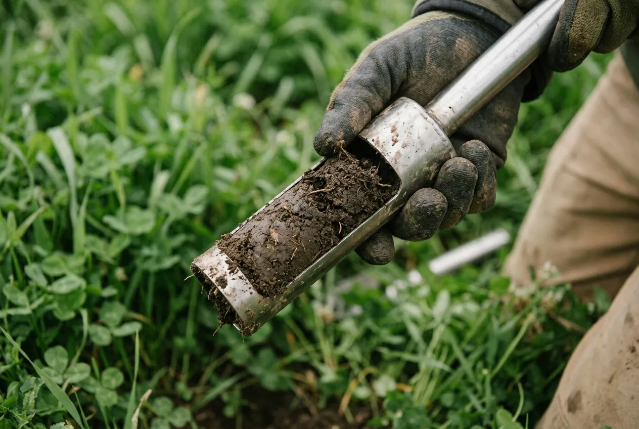
Stratified sampling
Depth-split cores to 30 cm, GPS-logged, lab-analysed for SOC and bulk density.
Quarterly satellite checks
0.3 m imagery scored for cover, residue and tillage against the practice plan.
Field dashboard
Boundaries, samples, passes and the credit forecast, per field, updated every pass.
One season, four dated steps
Week 1
Enrol fields
Draw or upload boundaries. Five years of satellite history pulled the same day.
Week 3
Baseline sampling
Stratified cores taken and sent to the lab. Baseline locked with the registry.
Every 90 days
Satellite check
Cover, residue and tillage scored and shown in the dashboard with the pass date.
Season end
Verification
Independent VVB review of samples and passes before any credit is issued.

About this solution
How many samples per field?
Stratified by soil type and slope, typically 1 core per 4 ha, minimum 6 per field.
Who owns the data?
You do. We hold a licence to measure and report it to the registry, and you can export or revoke at any time.
What if a satellite pass is cloudy?
We wait for the next clean pass. Any field with fewer than four clean passes a season is flagged and resampled.
See your fields monitored before you commit
We pull your satellite history and show the first forecast on the call.
