

Satellite Verification
0.3 m imagery scored against the practice plan every quarter. Fields that miss the plan are flagged to the agronomist and excluded from the vintage until they pass.
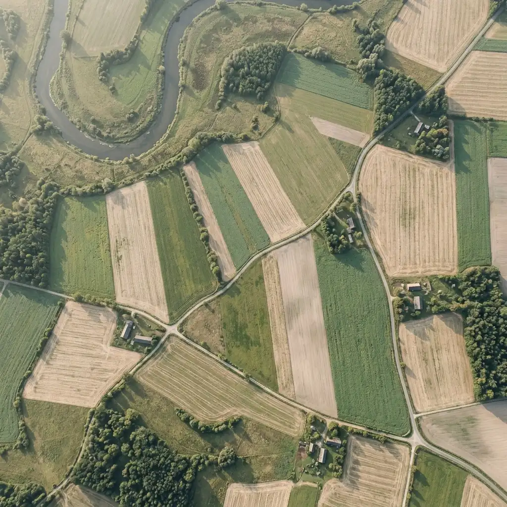
Everything that stands behind a number
Practice scoring
Cover, residue and tillage scored per field, per pass, against the plan.
Drift alerts
Boundary changes and unplanned tillage flagged within one pass.
Pass archive
Every pass stored and linked from the dashboard and the audit pack.
One season, four dated steps
Day 1
Boundaries drawn
Fields checked against five years of history.
Every 5 days
Pass
Imagery pulled when cloud cover allows.
Every quarter
Score
Four clean passes scored and published to the dashboard.
Season end
Verifier review
Scores and samples handed to the VVB.
Projects using this solution

About this solution
What is scored?
Cover crop presence, residue retained and tillage events, against the plan each grower signed.
What happens when a field fails?
It stays enrolled, moves to a new plan, and is excluded from issuance until it passes.
Can a registry access the passes?
Yes. Registries and verifiers get read access to the full pass archive.
See your fields monitored before you commit
We pull your satellite history and show the first forecast on the call.
