

Technology
From a satellite pass to an issued tonne, one pipeline
Six stages, every one of them logged. Remote sensing finds the fields, soil cores anchor the model, a third party checks the maths and the registry issues the credit. Nothing is estimated that could be measured.
01
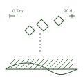
Satellite pass

02
Field boundary
03
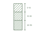
Soil core
04
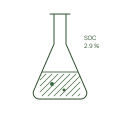
Lab analysis

05
Verification
06
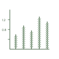
Ledger
The stack
Three layers, each one checkable
01
Sensing
Sentinel-2 and Planet imagery at 10 m, pulled every five days. Field boundaries are drawn once, then checked against each pass for tillage, cover and residue.
10 m resolution
5 day revisit
Boundary drift alerts
02
Modelling
A Bayesian soil carbon model fitted to the cores, not the other way round. Every field carries its own posterior, and the error bars travel with the tonne.
Per-field posterior
Stratified sampling
Published priors
03
Issuance
Verified vintages are written to the registry ledger with a serial per tonne. Buyers retire against a serial, growers are paid against the same one.
Serial per tonne
Third-party verified
Payout in 30 days
Specifications
The numbers behind every tonne
The full specification ships with every audit pack. These are the defaults; your project plan can tighten them.
Download spec v3.1Spatial resolution
10 m per pixel
Revisit interval
5 days, cloud permitting
Sampling depth
0 to 30 cm, 30 to 60 cm optional
Cores per stratum
3 minimum, 5 on first baseline
Re-measure cycle
12 months
Model
Hierarchical Bayesian, open priors
Uncertainty reported
90% credible interval per field
Registry
Verdant Registry, serial per tonne
Verification
Independent, annual, on-site sample
Data export
CSV, XLSX and JSON API
Uncertainty
We publish error bars, not point estimates
A tonne of soil carbon is a distribution, not a number. We issue against the lower bound of the 90% interval and hold the rest in a buffer pool until the next measurement narrows it. Buyers see both figures on every certificate.

Issued against the lower bound, never the mean
Buffer released as intervals tighten
Model code and priors published with every vintage
Field 14, North block
tCO2e per ha, 2022 to 2025
Issued
Buffer
2022
2023
2024
2025
Under the hood